Geography
Peruvallur Grama Panchayat, located in Tirurangadi Taluk of Malappuram District and within the Vengara Block, is a geographically significant region. The area, which is experiencing increasing population density and urbanization, has several natural and human-made geographical features.
1. Location and Boundaries
Peruvallur Grama Panchayat is situated approximately at 11°6'0" North latitude and 75°55'40" East longitude. The panchayat shares its boundaries with several neighboring grama panchayats.
East: Pallikkal and Kannamangalam Grama Panchayats
West: Thenhipalam Grama Panchayat
South: A.R. Nagar Grama Panchayat
North: Pallikkal Grama Panchayat
2. Topography and Water Resources
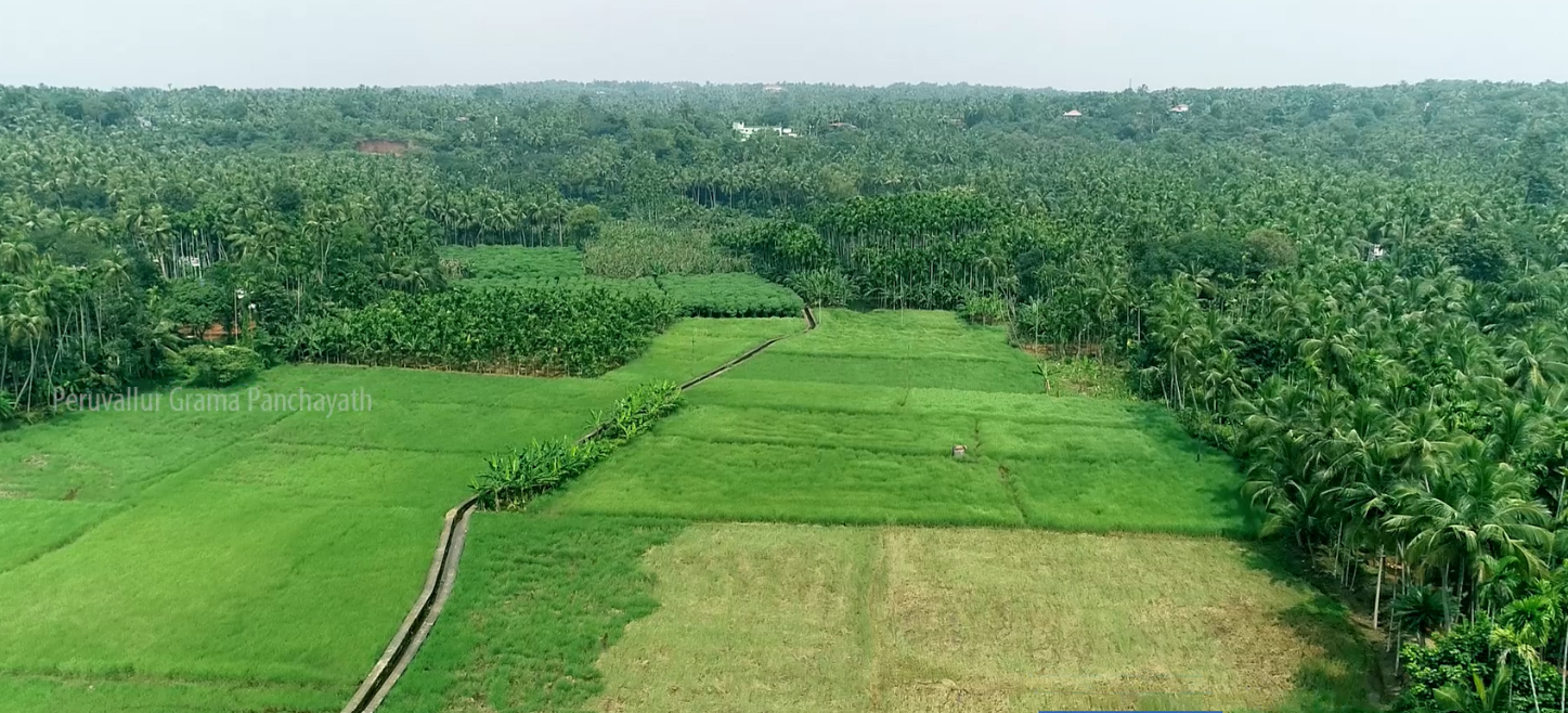
Peruvallur is situated in the Midland region of Malappuram District. The area has a varied topography consisting of small hills, valleys, and plains. This diverse landscape provides favorable conditions for agriculture and human settlement.
One of the major geographical features of Peruvallur is its water resources. There are approximately 35 freshwater ponds distributed across different parts of the panchayat. These ponds play an important role not only in providing water for agricultural purposes but also in maintaining the groundwater level of the region.
3. Nearby Towns and Transportation Facilities
The Calicut International Airport (Karipur) is located close to Peruvallur, giving the region particular importance in terms of air connectivity. Kondotty, Chemmad, and Chelari are some of the major nearby towns. Parambilpeedika and Kadappadi are important commercial and market centers within the panchayat that are experiencing rapid growth.
The National Highway 66 (NH 66) passes close to the region, improving its connectivity with other areas. Feroke Railway Station is one of the nearest major railway stations.
4. Urbanization and Geographical Significance
The proximity to the airport, connectivity with major road networks, and easy access to nearby towns have contributed to the economic and social development of Peruvallur. Along with agricultural areas, residential settlements, and commercial centers, new construction and infrastructure development are increasing, resulting in noticeable urbanization trends in the region.
Thus, the diverse topography, water resources, transportation facilities, and proximity to the airport and nearby towns are the major geographical characteristics of Peruvallur Grama Panchayat.